Hood River, Oregon Trail Map
$11.99 – $25.00
Waterproof/Folded Map (for navigation out on the trails)
Laminated Poster Map (durable poster for display in your home, cabin, office or business)
Poster Map (printed on regular poster paper, suitable or custom mounting or framing)
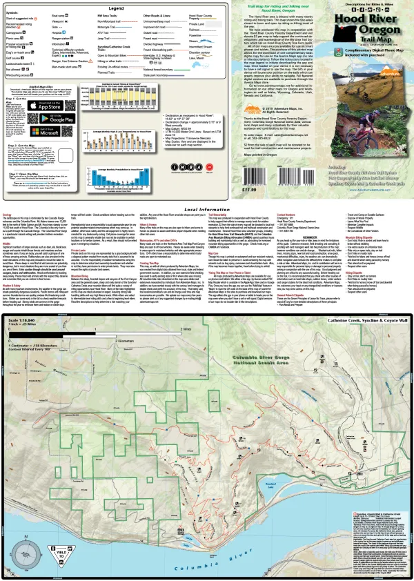
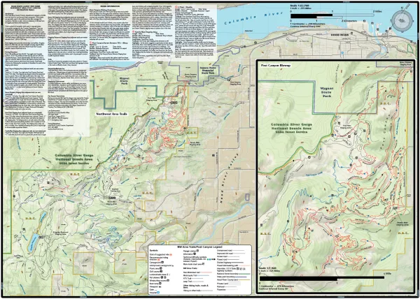
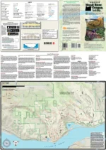
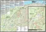
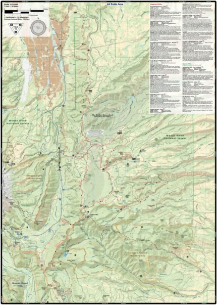
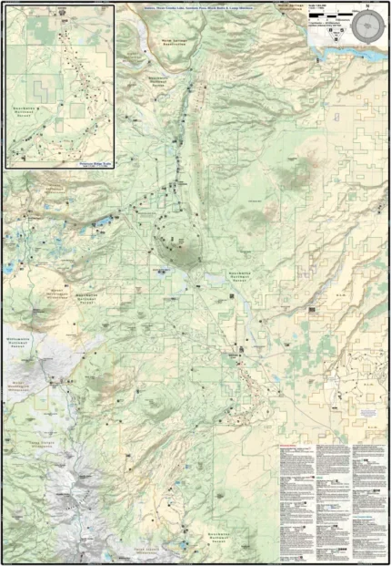
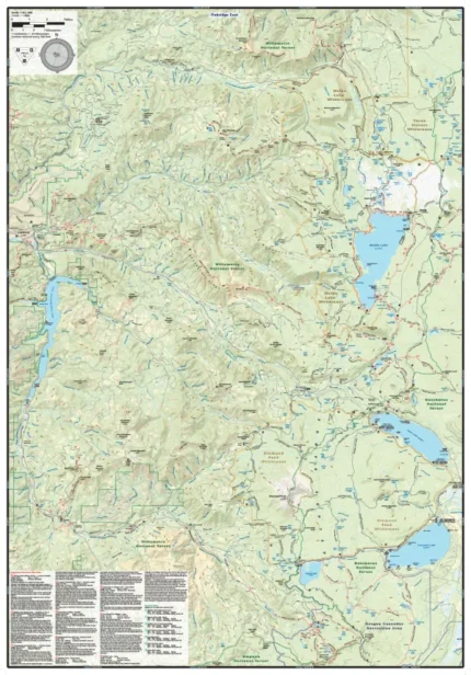
The Hood River, Oregon map (2019) is a waterproof, topographic map (lat/long, UTM grids) trail map that includes mountain biking route descriptions for the Hood River area including the Syncline, Coyote Wall and Catherine Creek trails. The Hood River area is blessed with many nearby riding and hiking trails. This map shows the two areas closest to town and open to riding or hiking most of the year. The ride descriptions will help you decide how to ride these diverse trail networks. Hikers, Trail Runners and Equestrians will also find this map useful as it accurately shows all trails with mileage points, streams, lakes, roads, and landownership boundaries. On this map is a blowup of Post Canyon. This map is a “half-size” map and measures 19.25 x 27 inches.
Our printed maps come with a free digital copy (arriving with your map) for use on smart phones and tablets. Use the digital map to gps navigate out on the trails (no cell service needed once map is downloaded); Use the printed Waterproof/Tear Resistant map for planning, as a backup in case your phone ends up in a creek, to cover your head in a rain storm or for good old fashioned navigating. Laminated Flat Maps and Half Size Poster options are also available (see below). Laminated maps and Posters make nice gifts as you can hang them on a wall.
Scale 1:23,760, 1:15,840, 1:7,920
copyright 2019
| Map Type |
Laminated Poster Map ,Poster Map ,Waterproof/Folded Map |
|---|
Only logged in customers who have purchased this product may leave a review.
Related products
Subscribe to our newsletter for updates
Adventure Maps creates the most accurate and easy-to-use trail maps, ensuring outdoor enthusiasts have the best experience on the trails.
-
Adventure Maps, Inc.
PO Box 4642
Salem, OR 97302 - (503) 385-8023
- info@adventuremaps.net



Reviews
There are no reviews yet.