


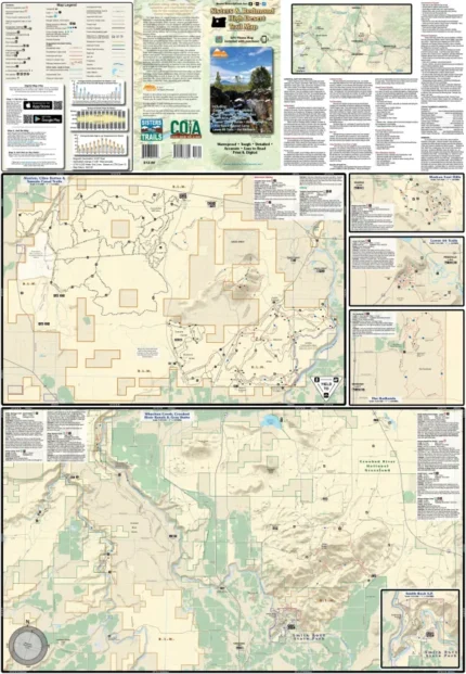
44 Trails Area
$11.99 – $25.00
Waterproof/Folded Map (for navigation out on the trails)
Laminated Poster Map (durable poster for display in your home, cabin, office or business)
Poster Map (printed on regular poster paper, suitable for custom mounting or framing)
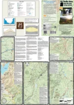
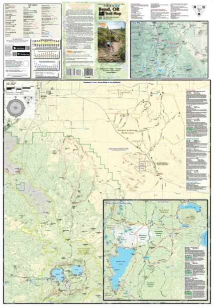
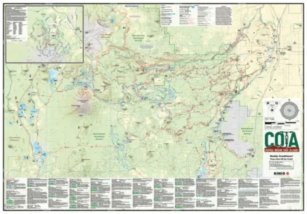
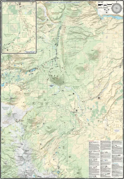
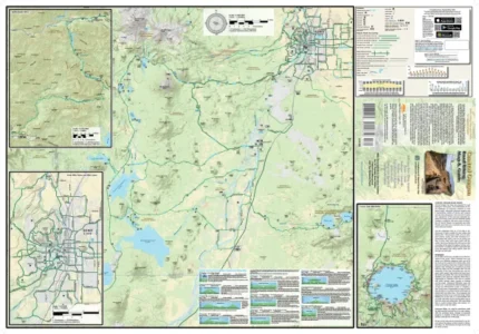
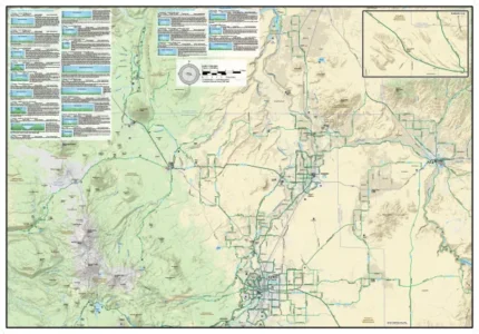
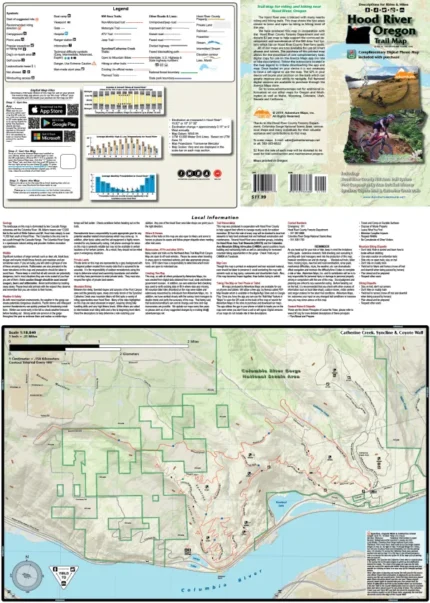
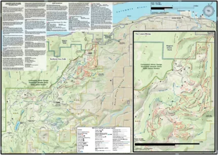
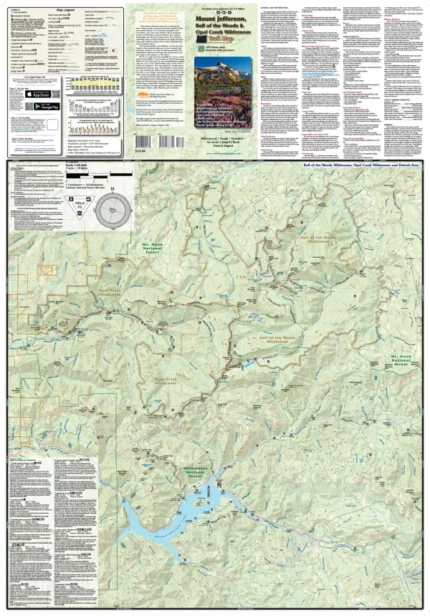
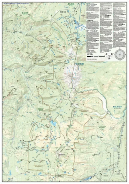
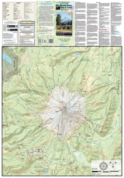
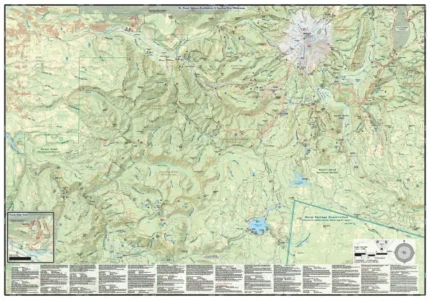
The 44 Trails Area map (2017) is a waterproof, topographic map (lat/long, UTM grids) trail map that includes hiking and mountain biking route descriptions covering the 44 Trails area, Surveyor’s Ridge, Dog River, Knebal Springs, 8 Mile Creek, 15 Mile Creek, Lookout Mountain, and Gunsight Ridge & the Badger Creek Wilderness area. You will also find the areas of Ape Canyon, Lewis River, Falls Creek, Nestor Creek, and Buck Creek Trails. From the volcanic landscape of Mount St. Helens to the lush forests and clear waters of the Lewis River and Falls Creek trails to the views along Surveyors Ridge and at the top of Lookout Mountain, this map highlights a diverse mix of natural surroundings and trails. You will find route descriptions for 15 of the best mountain biking rides and 5 of the best hikes in the area. This map is a “half-size” map and measures 19.25 x 27 inches.
A free digital copy of this map is available for download from Avenza Maps, please contact us after purchase of your printed map. Laminated poster maps and regular paper poster maps are also available.
Scale 1:55,000, 1:63,360
copyright 2017
| Map Type |
Laminated Poster Map ,Poster Map ,Waterproof/Folded Map |
|---|
Only logged in customers who have purchased this product may leave a review.
Related products

Reviews
There are no reviews yet.