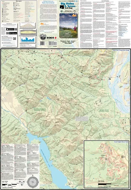
Big Holes & Tetons Trail Map
$13.99 – $25.00
Waterproof/Folded Map (for navigation out on the trails)
Laminated Poster Map (durable poster for display in your home, cabin, office or business)
Poster Map (printed on regular poster paper, suitable for custom mounting or framing)
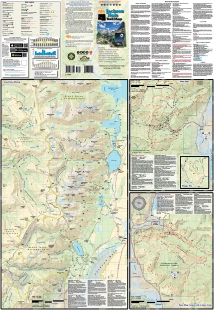
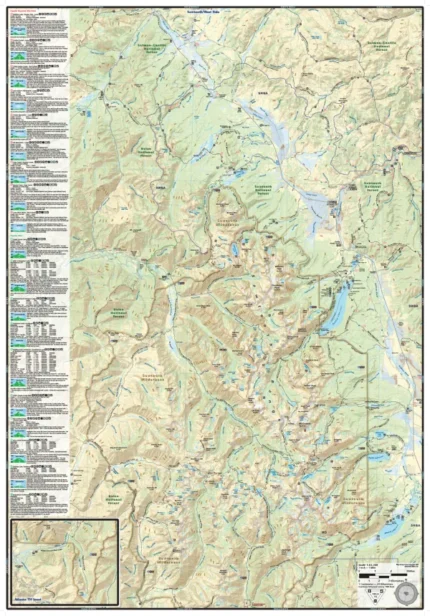
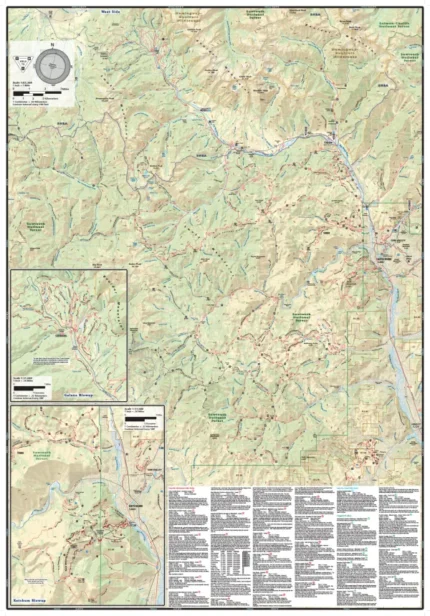
The Big Holes & Tetons map (2021) is a waterproof, topographic (lat/long, UTM grids) trail map that includes hiking, mountain/fat/road biking, and XC skiing route descriptions covering the areas of the Big Hole Mountains, Teton & Snake River Ranges, Teton Pass Trails, Teton Basin, Jedediah Smith Wilderness, and Teton Valley. The Teton Valley offers the peaceful pleasures of yesterday as it is less developed than it’s sister city of Jackson, while providing similar access to the regions towering peaks, mountain lakes and numerous trails. You will find route details for 19 of the best mountain bike rides, 6 hikes, 3 fat bike rides, 2 road bike rides, and 3 cross-country skiing areas, suitable for a wide range of skill and fitness levels. On this map is a blowup of the trails of Grand Targhee Resort. Rock Climbers, Equestrians and Fishermen will also find this map very useful as it accurately shows all streams, lakes, roads, OHV routes and land ownership boundaries. This map is a collaborative effort between Adventure Maps and Mountain Bike the Tetons (IMBA Chapter). Up to 20% from the sale of each map will go to support Mountain Bike the Tetons!
Our printed maps come with a free digital copy (arriving with your map) for use on smart phones and tablets. Use the digital map to gps navigate out on the trails (no cell service needed once map is downloaded); Use the printed Waterproof/Tear Resistant map for planning, as a backup in case your phone ends up in a creek, to cover your head in a rain storm or for good old fashioned navigating. Laminated Flat Maps and Full Size Poster options are also available (see below). Laminated maps and Posters make nice gifts as you can hang them on a wall.
Scale 1:63,360, 1:23,760
copyright 2021
| Map Type |
Laminated Poster Map ,Poster Map ,Waterproof/Folded Map |
|---|
Only logged in customers who have purchased this product may leave a review.
Related products



Reviews
There are no reviews yet.